DOE NIGEC WLEF
Regional Estimation of Terrestrial CO2 Exchange from NIGEC Flux Data, Satellite Imagery, and Atmospheric Composition
DOE NIGEC 2000-2002
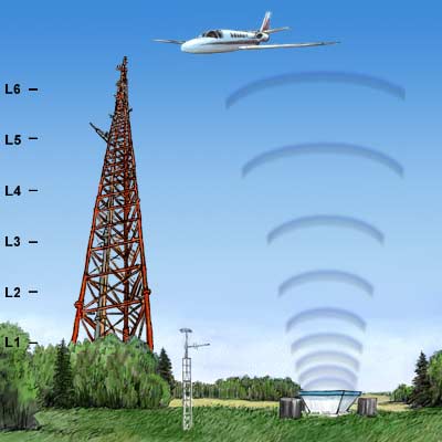
 We propose an analysis of regional CO2 budgets of North America, using coupled models of terrestrial ecophysiology and biogeochemistry and the physical climate system. The models will be driven by observed climates and by the time-varying observed state of the vegetated land surface as derived from satellite imagery. The coupled system will be used to predict atmospheric trace gas composition (CO2, δ13C, and CO), which will be compared directly to measurements made at remote observing stations, tall towers, and by aircraft during the study period. Input data will include retrospective satellite vegetation imagery at 8 km for the period 1981-1999 and analyzed weather data. Methods will be tested at the WLEF tall tower site and in the ARM-CART Southern Great Plains site in Oklahoma, at both of which abundant atmospheric data are available. Model output will be used to test observing strategies and prioritize future data collection, as well as to estimate the carbon balance of subcontinental regions.


